Infrastructure visualisation since 2008

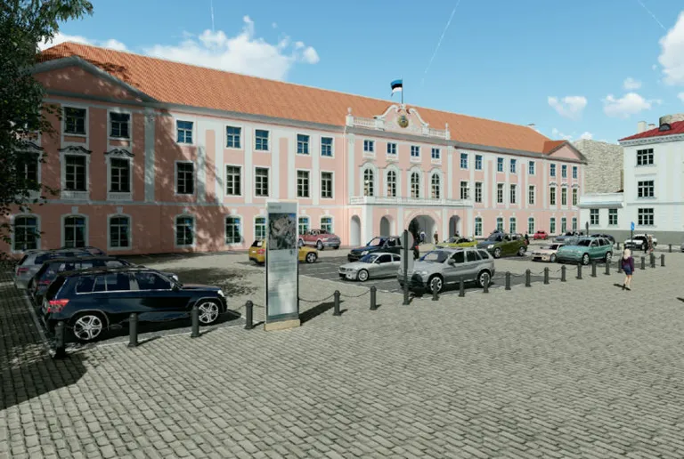
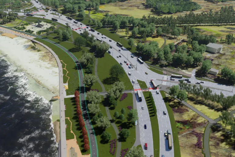
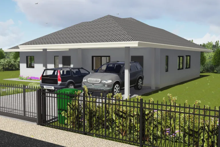
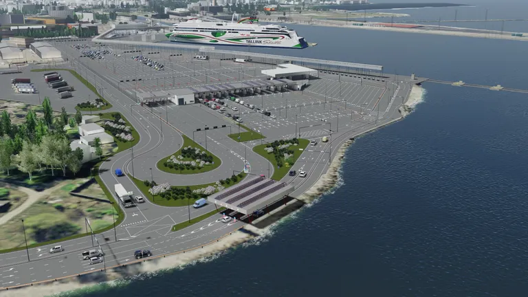
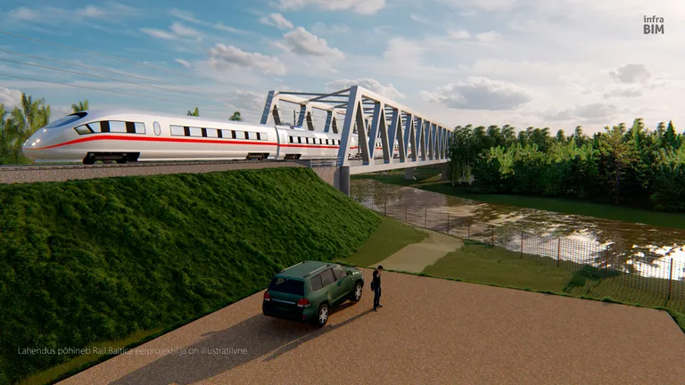
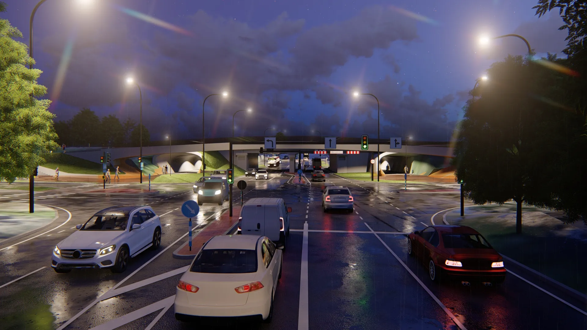
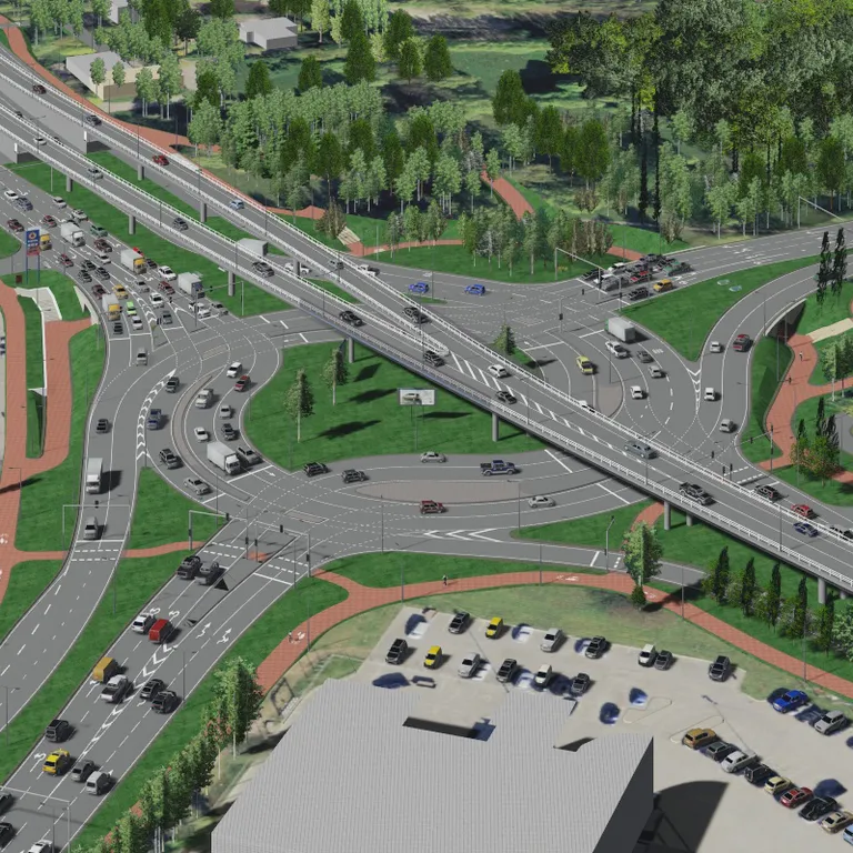
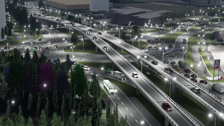
InfraBIM started with a simple idea: complex infrastructure projects should be understandable to everyone — not just engineers. We've spent over 15 years turning 2D CAD drawings into immersive 3D BIM models, 360° virtual tours and machine-ready surfaces for construction sites.

Today we work with civil engineers, municipalities and contractors across Estonia and the Nordic countries — helping them communicate design intent, catch clashes early, and deliver projects that leave no room for misunderstanding.
A few things about us

  • Founded in Tartu, Estonia in 2008
  • 79 projects completed across Estonia, Finland, Norway and the Baltics
  • Specialists in AutoCAD Civil 3D, BIM modeling and 360° virtual tours
  • Every model is built from real project data — survey files, CAD drawings, design packages
  • Small team, direct contact — you always know who is working on your project

Every type of
infrastructure project

01

You send us the project files — Civil 3D models, survey data, design packages. We work from the actual engineering data, not sketches.

02

We build the 3D model and 360° walkthrough. You see exactly what's being built before the first shovel hits the ground.

03

The model goes to whoever needs it — the engineering team, the client, the city council, the public. Everyone sees the same thing.