What we do
From 2D to 3D
Make your first steps in 3D with us. We've been involved in large-scale infrastructure projects since 2008 — across Estonia and Nordic countries.
What we do
Make your first steps in 3D with us. We've been involved in large-scale infrastructure projects since 2008 — across Estonia and Nordic countries.
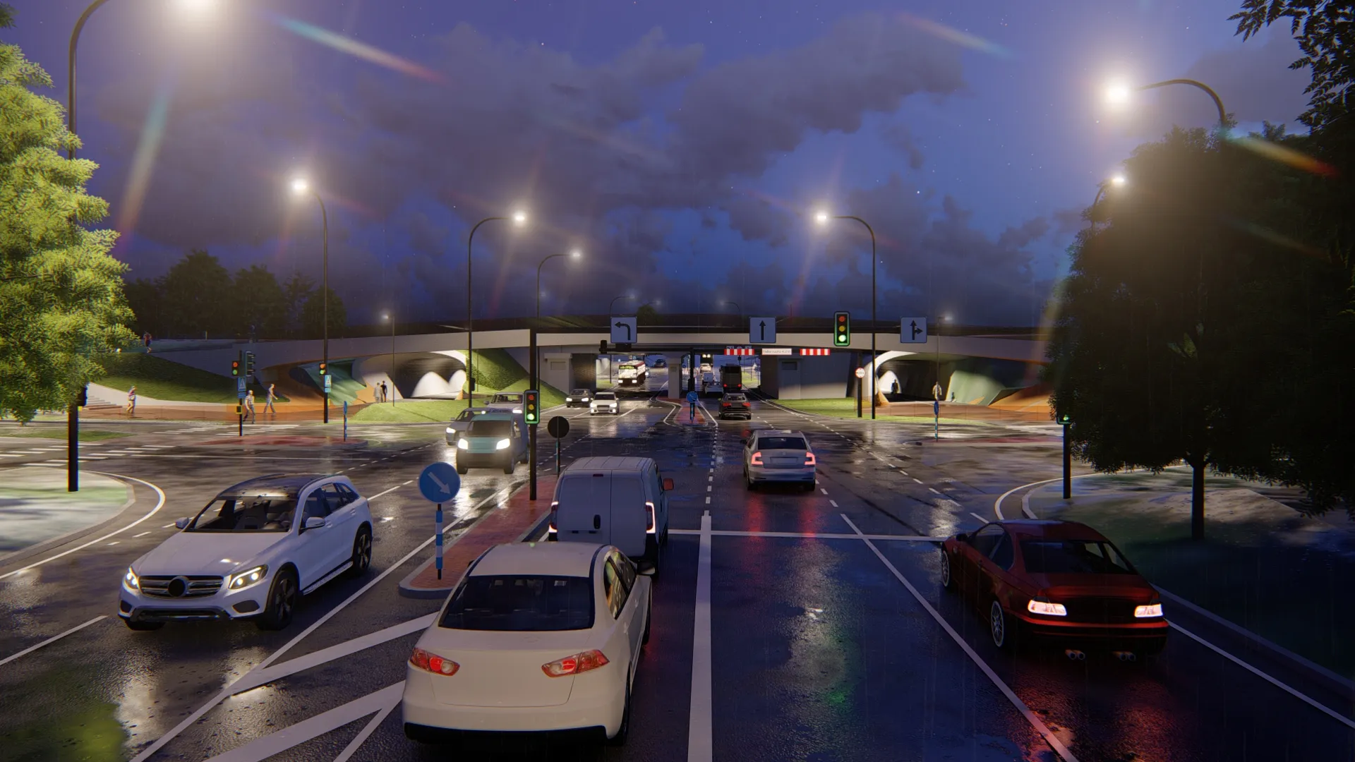
Based on actual project data — we turn your 2D drawings and CAD files into immersive 3D visualisations that anyone can understand, walk through, and review before construction begins.
We create and coordinate infrastructure BIM models that combine road geometry, structures, utilities and terrain into a single coherent 3D dataset — ready for design review and clash detection.
Hands-on consultancy and training for AutoCAD and AutoCAD Civil 3D. We help your team set up workflows, templates and best practices to get the most out of your software investment.
Accurate cut and fill volume calculations from your Civil 3D surfaces. We produce detailed earthworks reports that feed directly into cost estimation and construction planning.
We prepare and export optimised 3D design surfaces for GPS-guided construction machinery — ensuring your operators work from the latest, most accurate data on site.
We deliver your 3D models and 360° virtual tours in formats accessible on any PC, tablet or mobile — so clients, contractors and decision-makers can explore the design wherever they are.